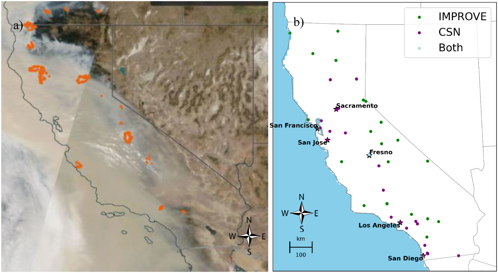
Fig. 1.

A satellite image of smoke covering California on September 10, 2020, with the orange dots of active fires superimposed (a); and a map of Air Quality System PM2.5 speciation network monitors (both the Interagency Monitoring of Protected Visual Environments (IMPROVE) (29 monitors) and Chemical Speciation Network (CSN) (35 monitors)) active at some point during 2006–2018 (b).
