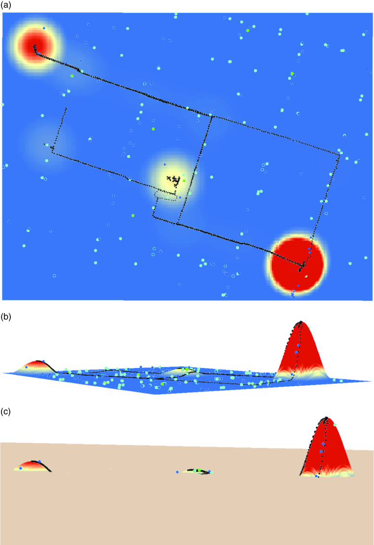
Fig. 1.
(colour online) (a) Example of a participant’s GPS trace (black dots), time-weighted KDE surface (the coloured, continuous surface) and the location of selected food retailers (cyan, blue and green dots). (b) The same surface projected in three dimensions (peaks represent where more time is spent). (c) A plane is raised to n% of the maximum KDE value of each participant; only food retailers above the plane are considered to be a part of the RAS-based food environment (GPS, global positioning system; KDE, kernel density estimate; RAS, regular activity space)

