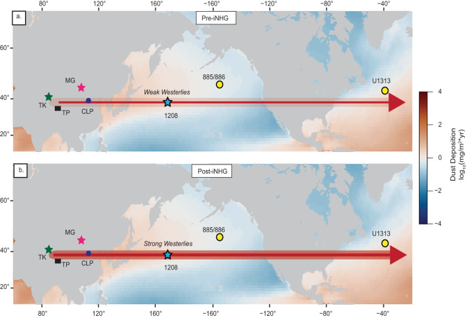
Fig. 5. Schematic depicting the intensification of the westerlies following the intensification of Northern Hemisphere glaciation (iNHG) at ~2.73 Ma.
Blue star marks study site. Yellow circles are marine sites with proxy dust records considered here. a Pre-iNHG climate: light shaded region in arrow represents weaker westerly wind speeds. b Post-iNHG climate: darkened shaded region in arrow represents intensified winds. East Asian land features: TK Taklimakan Desert (green star), MG Mongolian-Gobi Desert (pink star), TP Tibetan Plateau (black square), and CLP Chinese Loess Plateau (purple hexagon). Modern dust distribution is also shown81. Base map created using PyGMT82.

