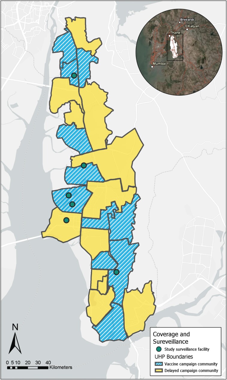
Figure 1.
Map of vaccine campaign communities (blue stripes) and delayed campaign communities (yellow solid) as demarcated by the borders of Navi Mumbai Municipal Corporation's 22 UHPs. Hospitals that participated in healthcare facility blood culture surveillance marked by green circles. Abbreviation: UHP, urban health post. The map was generated using data collected from ArcGIS Collector (Mobile application) and compiled using the desktop application and ArcGIS World Imagery and Light Canvas basemaps (Professional version, ESRI). Source credits for satellite imagery: Esri, DigitalGlobe, GeoEye, i-cubed, USDA FSA, USGS, AEX, Getmapping, Aerogrid, IGN, IGP, swisstopo, and the GIS User Community, DeLorme, HERE, MapmyIndia.

