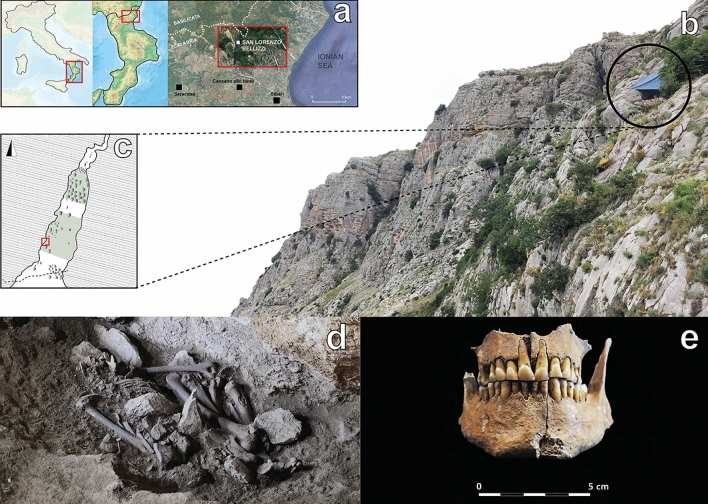
Figure 1.
(a) Geographical location of San Lorenzo Bellizzi. Maps were obtained from the National Geologic Map Database project (https://ngmdb.usgs.gov/topoview/) and adjusted using Adobe Illustrator 2022 v3.0 (available at https://www.adobe.com/products/illustrator/); (b) Pietra Sant’Angelo massif and the entrance of the homonymous cave (black circle); (c) planimetry of the cave and location of the burial (red square); extent of the excavations is highlighted in green; (d) the skeletal remains of the individual as found inside the cave; (e) the intact jaws of the individual; photographs taken by Felice Larocca (b, d) and Alessandra Cinti (e).

