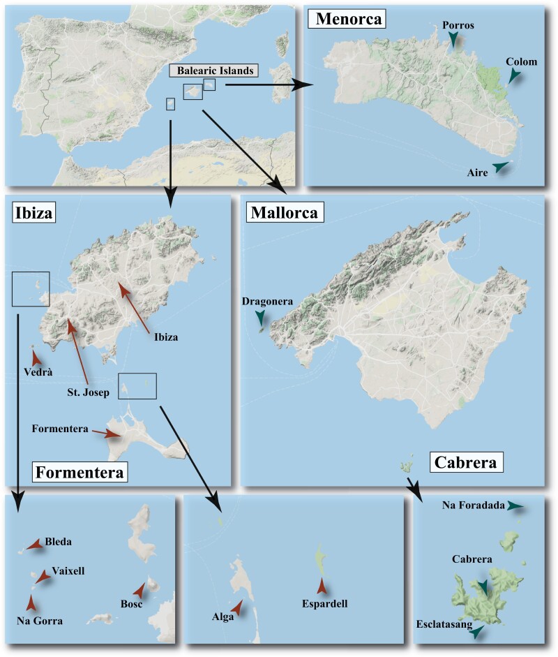
Figure 1.
Maps of the Balearic archipelago showing the location of the sampled Podarcis lilfordi (green arrows) and P. pityusensis populations (brown arrows). Maps were obtained with Google Maps (Map data 2020 Google) using the function ‘get_map’ in the package ‘ggmap’ version 3.0.0.902 in R version 3.6.3 (See online version for color figure).

