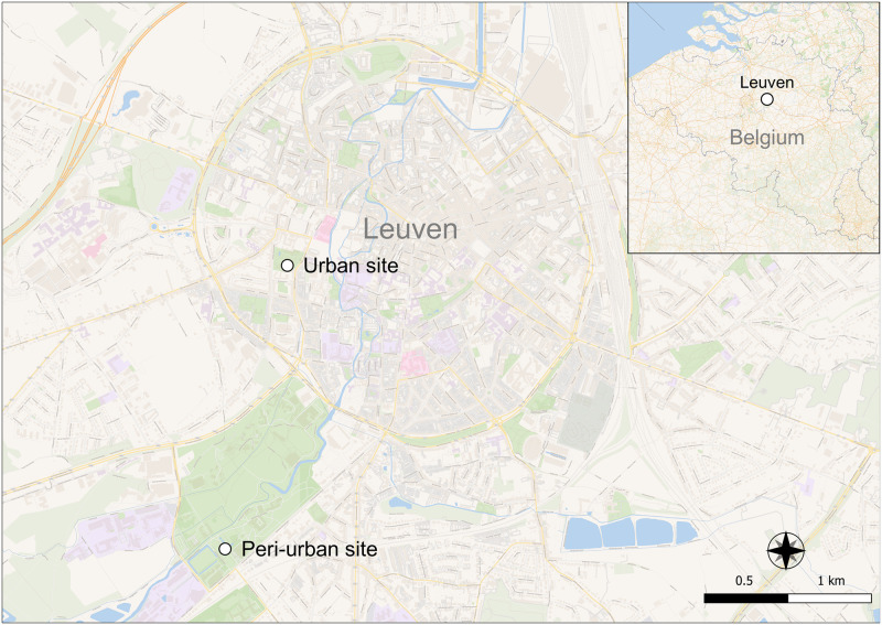
Fig 1. Urban and peri-urban field collection sites in Leuven, Flemish Brabant, Belgium.
Map made using QGIS v3.18.3 [QGIS Development Team (2021). QGIS Geographic Information System. Open Source Geospatial Foundation Project. http://qgis.osgeo.org]. Open map data was obtained from OpenStreetMap contributors through the Wikimedia Commons unlabeled layer (accessed: 14 July 2022).

