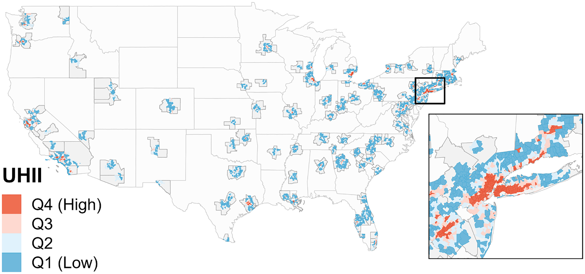
Fig. 1.

The 120 metropolitan statistical areas (MSAs) in the contiguous US, with 9,917 ZIP codes located in their urban cores. ZIP codes are shown with their associated surface urban heat island intensity (UHII) level, defined using UHII quartiles (Q1 = Quartile 1), weighted to each have 25% of all cardiovascular disease hospitalizations. Dark grey outlines indicate the MSA boundaries; red and blue areas indicate the ZIP codes that overlapped an urban core of an MSA and were included in the analysis; light grey areas within the MSA boundaries indicate areas that did not overlap an urban core and were excluded from analysis. The inset is centered on the New York-Jersey City-White Plains, NY-NJ MSA and displays ZIP codes across 10 different MSAs.
