Fig. 1.

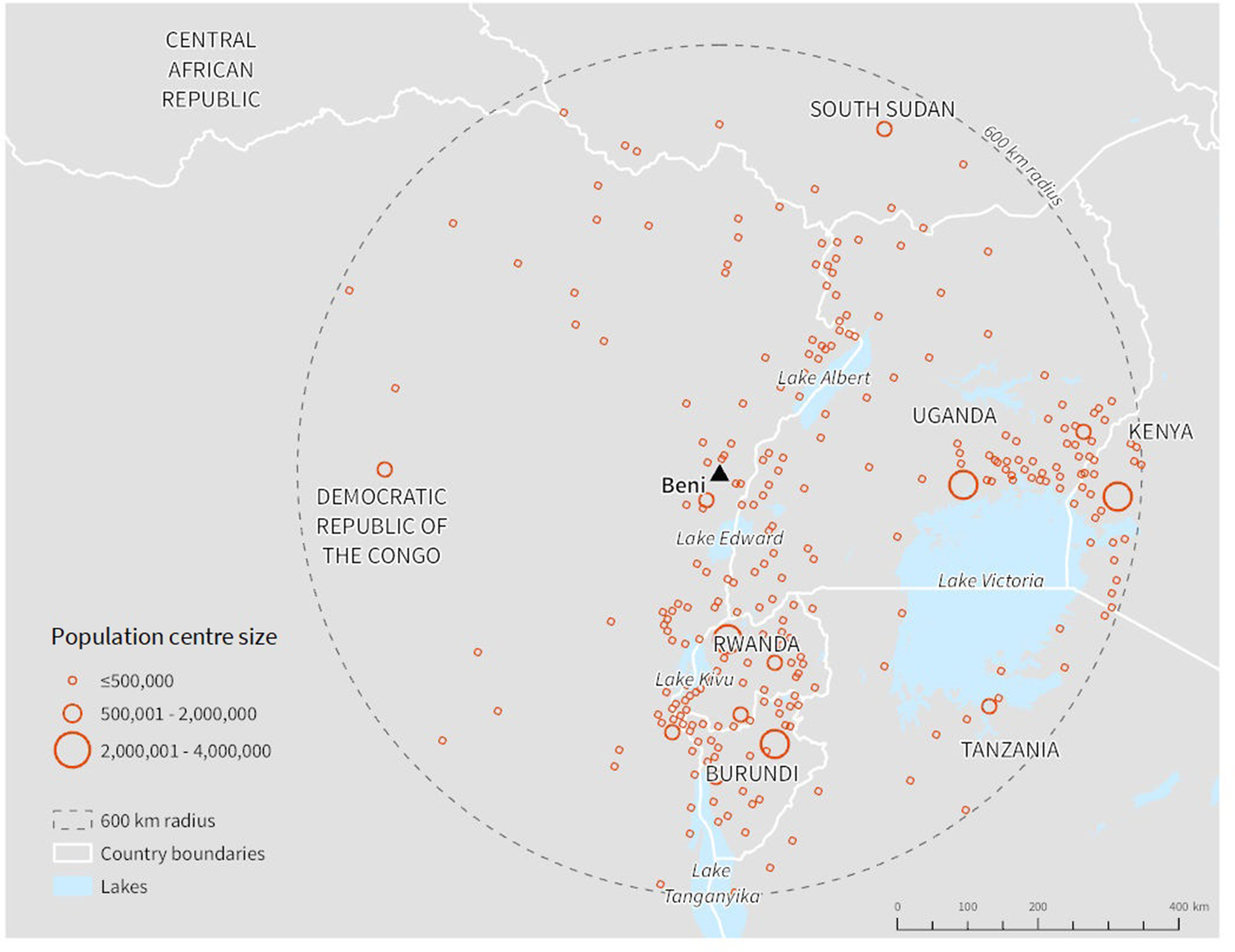
Population centres within 600 km of Beni; population centres were identified using the LandScan raster dataset representing population per km2 (Oak Ridge National Laboratory, 2017).

Population centres within 600 km of Beni; population centres were identified using the LandScan raster dataset representing population per km2 (Oak Ridge National Laboratory, 2017).