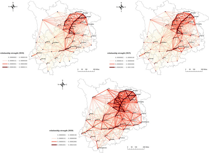
Fig 6. Spatial distribution of cohesive subgroups in the upper reaches of the Yangtze River.
The map was prepared with ArcGIS10.1 (https://resources.arcgis.com/en/help/). The administrative boundary was republished from [34] under a CC BY license, with permission from Resource and Environment Science and Data Center (https://www.resdc.cn/), original copyright 2023.

