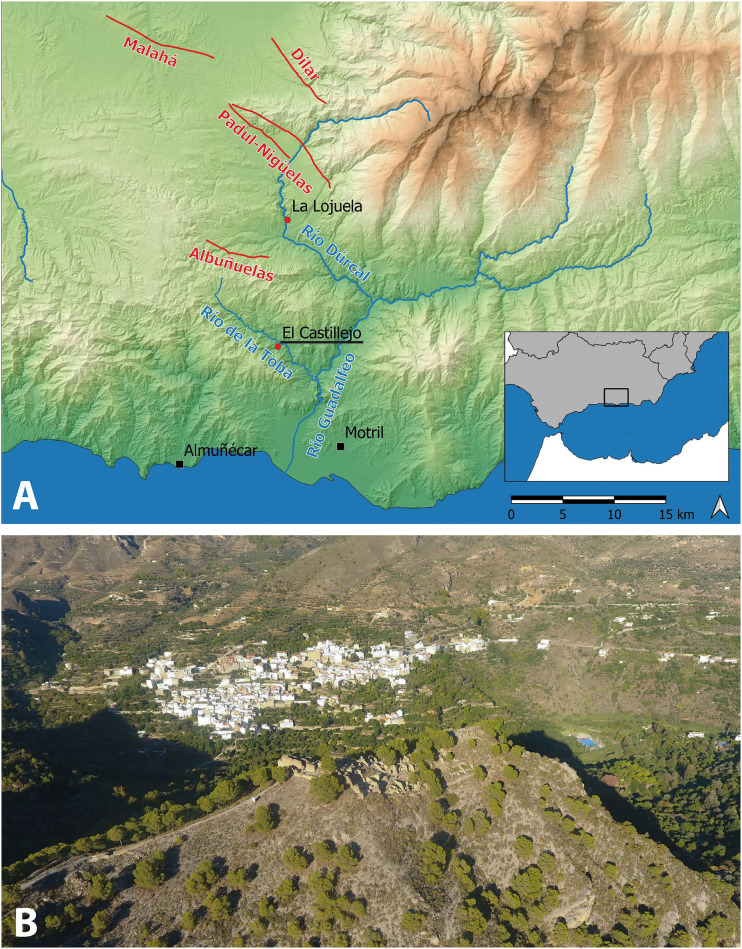
Fig 1.
A: Geographical location of El Castillejo (map generated by the authors using QGis 3.26; Basemap: MDS05 2020 CC-BY 4.0 ign.es; seismic faults from the QAFI database [17]); B: Drone view of the archaeological site from SW. The village of Guájar Faragüit lies in the background. Photograph by P. Forlin.

