Figure 7.

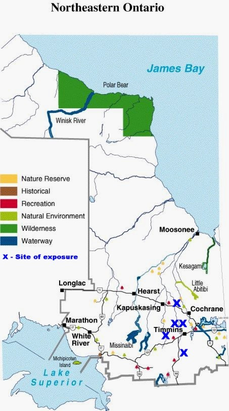
Map of Northeastern Ontario, showing the location of exposure [adapted from http://www.ontarioparks.com/english/ner3.html, accessed April 2, 2005].© Queens Printer for Ontario, 2002. Adapted and reproduced with permission

Map of Northeastern Ontario, showing the location of exposure [adapted from http://www.ontarioparks.com/english/ner3.html, accessed April 2, 2005].© Queens Printer for Ontario, 2002. Adapted and reproduced with permission