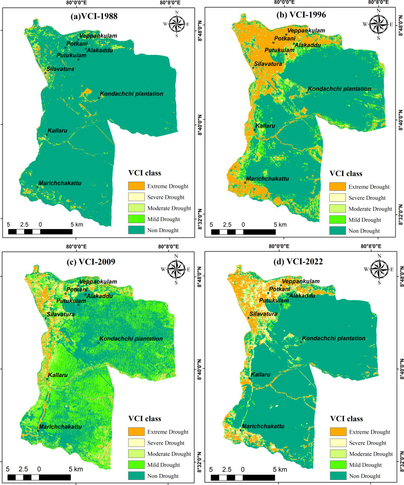
Figure 9. Vegetation Condition Index in DSD: (A) 1988; (B) 1996; (C) 2009; (D) 2022.
Maps were created by authors using United States Geological Survey Earth Explorer Landsat images (https://earthexplorer.usgs.gov/) and Sri Lanka Survey department hard copy maps of DSD and Sri Lankan boundary.

