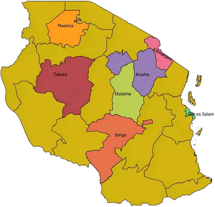
Fig 1. Map of Tanzania indicating surveyed regions marked in different colours with their names added in the map.
The survey was conducted to assess awareness, literacy and prevalent health condition for mobile phone-enabled diseases/condition diagnosis among medical and veterinary professionals. The map was created using QGIS [18], an official project of the Open-Source Geospatial Foundation (OSGeo) licensed under the Creative Commons Attribution 4.0. The shapefile is available from https://energydata.info/dataset/tanzania-region-district-boundary-2012.

