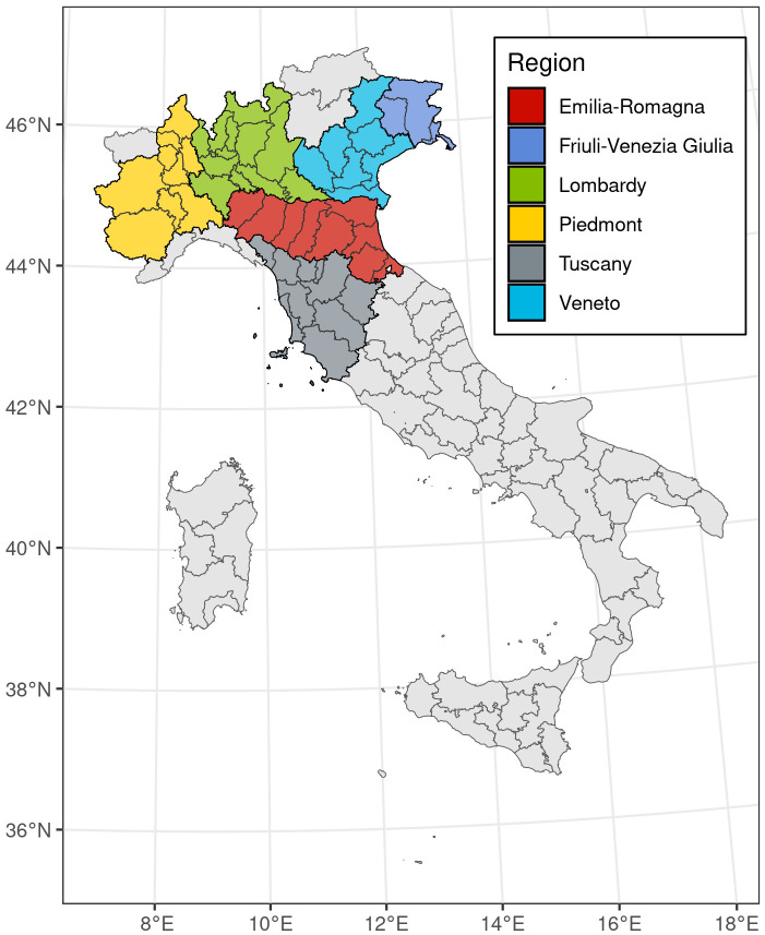
Fig 1. Map of the study area, representing the 50 provinces, divided between the 6 different regions.
Administrative boundaries were downloaded from the Italian National Institute of Statistics and are subjected to a CCBY 4.0 license (https://www.istat.it/note-legali/).

