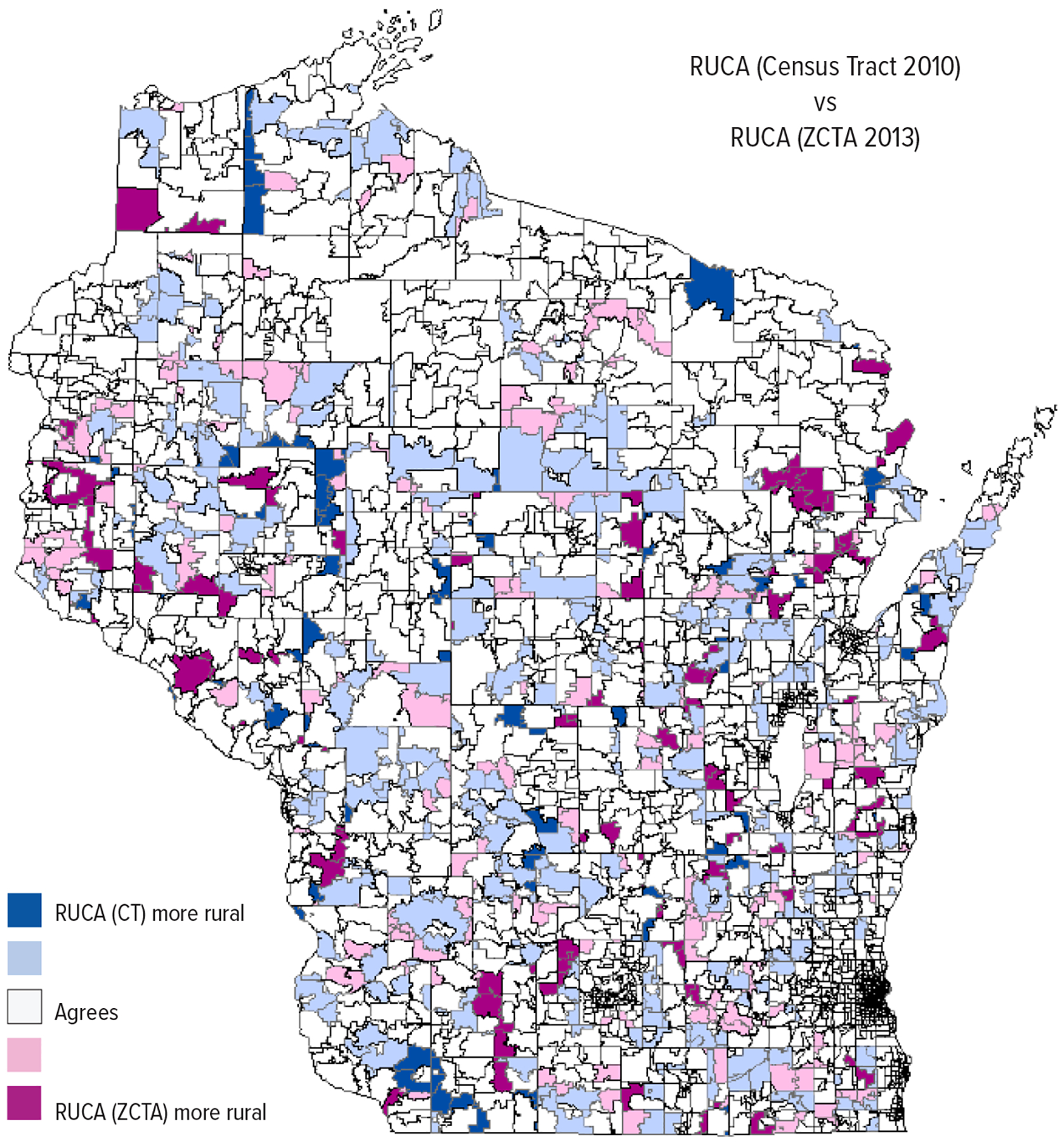
Figure 3.

Comparing Rural Urban Commuting Area (RUCA) Indexes (primary codes only) Based on Census Tract (CT) and ZIP Code Tabulated Area (ZCTA) Across Wisconsin
Dark blue indicates Census Tract-based RUCA (RUCA [CT]) categorized areas as more rural than ZCTA-based RUCA (RUCA [ZCTA]) by a code difference of 5 to 9 (2.6% of land area). Light blue indicates RUCA (CT) categorized areas as more rural than RUCA (ZCTA) by a code difference of 1 to 4 (16.3% of land area). Deep pink indicates RUCA (ZCTA) categorized areas as more rural than RUCA (CT) by a code difference of 5 to 9 (3.9% of land area). Light pink indicates RUCA (ZCTA) categorized areas as more rural than RUCA (CT) by a code difference of 1 to 4 (6.2% of land area). RUCA (CT) and RUCA (ZCTA) agreed for white areas (71.1% of land area).
