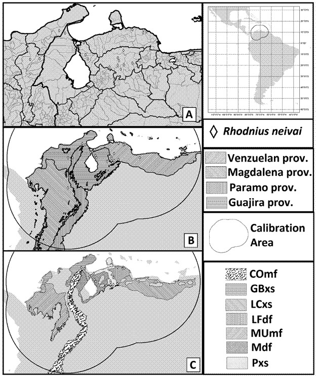
Fig. 1: maps of Rhodnius neivai geographical occurrences and related geographical relevant areas; register for the R. neivai are indicated as a lozenge, the figure in the right upper corner indicates the neotropical region and surrounding areas, the circular area indicates the calibration area used in ecological niche modeling. (A) Geopolitical delimitations of Colombia and Venezuela, where the species has been found, darker and thicker lines indicate higher-level political administrations and clear and thinner lines indicate lower-level administrations. (B) Biogeographical provinces 36 related to species occurrences indicated by different stripes angulations: Venezuelan (45 degrees); Magdalemo (-45 degrees); Paramo (90 degrees); Guajira (180 degrees). (C) Ecoregions 37 related to species occurrences indicated by acronyms and different textures: Cordillera Oriental montane forests (COmf - “cowhide” pattern); Guajira-Barranquilla xeric scrub (GBxs - 180-degree stripes); La Costa xeric shrublands (LCxs - -45 degree stripes); Lara-Falcón dry forests (LFdf - 90-degree stripes); Magdalena-Urabá moist forests (MUmf - 45-degree stripes); Maracaibo dry forests (Mdf - checkered pattern); Paraguana xeric scrub (Pxs - dots and white background).

