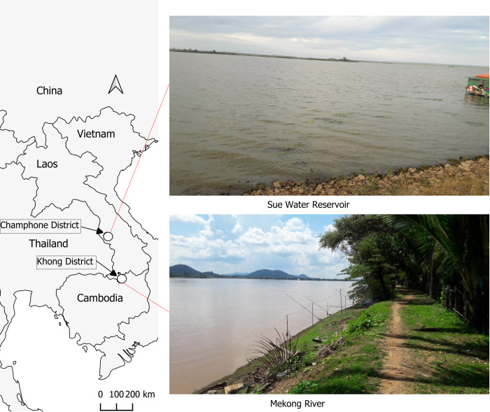
Fig 1. Map of study area.
The country boundary base layer is taken from the World Bank Official Boundary (https://datacatalog.worldbank.org/search/dataset/0038272/World-Bank-Official-Boundaries) under the Creative Commons Attribution 4.0 (CC-BY 4.0) license. The photos from the field were taken by one of our research members.

