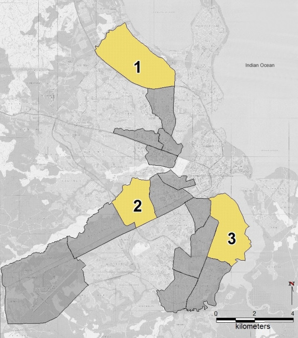
Figure 1.

Project wards of the Dar es Salaam Urban Malaria Control Programme. Dar es Salaam City Map. The dark grey and yellow shaded areas show the 15 wards in which the UMCP is operating at present. The yellow areas mark the first three wards that were systematically mapped using the methodology described here. 1 – Mikocheni, 2 – Buguruni, 3 – Kurasini. Source of background map: Dar es Salaam City Map and Guide, published in 1995 by Surveys and Mapping Division, Tanzania.
