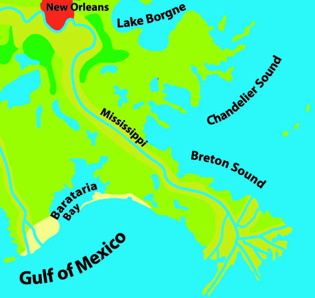
Fig. 4.
For comparison with the simulation results of Fig. 3, the figure shows part of a map of the mouth of the Mississippi River, where the bird-foot-shaped delta can be seen clearly. The colors indicate channel deposits (mustard), sand ridges (yellow), swamps (light green), and marshes (dark green). The figure was redrawn from ref. 35.

