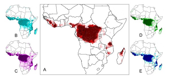
Figure 1.
Spatial results from 'jackknife procedure' to determine relative significance of various ecological parameters. Figure 1A shows the comprehensive map made with all parameters – each jackknife map was compared for similarity via statistical analysis with this comprehensive map. Figures 1B-E show jackknife maps created each with the exclusion of one parameter. Excluded parameters shown are: (B) Precipitation, (C) Flow Direction, (D) Land Cover, and (E) Frost Days. These four maps were selected for visualization based on statistical results of the jackknife test shown in table 1 [2].

