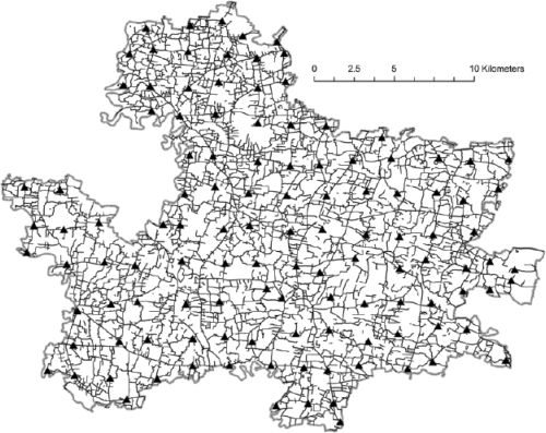
Fig. 4.
Stage 3—Referencing the basemap to an external (global) coordinate system
Coordinates for a network of immobile geographic features, such as road intersections (▴), are collected using global positioning system (GPS) receivers. To improve precision and accuracy, the geometric mean of three GPS measurements taken at the same location defines the final coordinate for each road intersection. Roads ( ); Study area boundary (
 )
)

