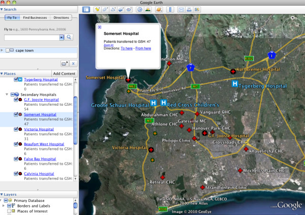
Figure 6.
Google Earth visualization of facilities that transferred patients to GSH. The map user can use this visualization to observe the number of patients that arrived at GSH from the network of referral hospitals and clinics throughout the city. This visualization may be particularly useful for hospital administration uses, as this information could be used in trauma system planning for the city.

