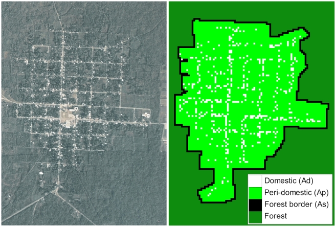
Figure 1. Satellite image and grid of the village of Teya, Yucatan, Mexico.
The grid is 88×104 pixels between forest border cells and was derived from the satellite image and the GPS coordinates of all houses. Each cell of the grid is associated with one type of habitat and corresponds to a surface of 13.5×13.5 m. White and light green cells correspond to domestic and peridomestic habitats, respectively. Black cells make up the first ring of forest cells surrounding the village, to which population dynamics rules are applied, while dark green forest cells are considered as inactive.

