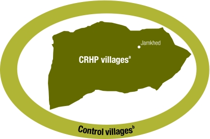
Fig. 1.
Map of control and intervention areas in retrospective study of the impact of the Comprehensive Rural Health Project (CRHP), Maharashtra state, India
a This area comprises the 153 CRHP villages, of which 75 satisfied all inclusion criteria.
b This area comprises the 135 eligible control villages, of which 75 were randomly selected to be surveyed. The inner ellipse is at a distance of at least 5 km from any CRHP village.

