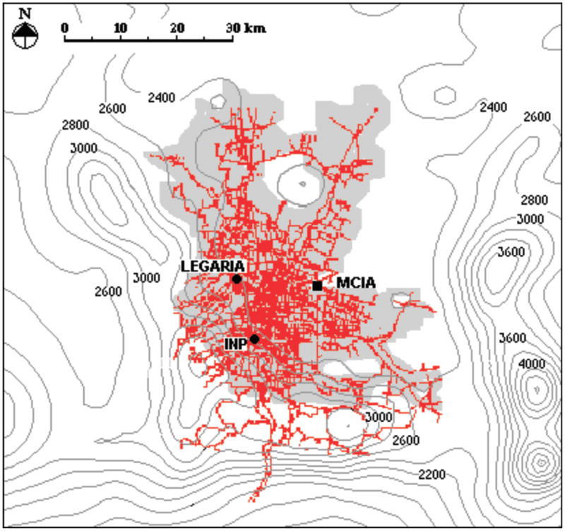
Figure 1.

Map showing the Mexico City Metropolitan Area (MCMA) with the location of the southwest Mexico City (INP) and the northwest Mexico City (Legaria) animal facilities. The grey area shows the approximate extent of the MCMA. MCIA represents the Mexico City International Airport as a reference in the map. The red lines show the principal streets and avenues in the city and the dark-gray isolines show the elevation curves in the region.
