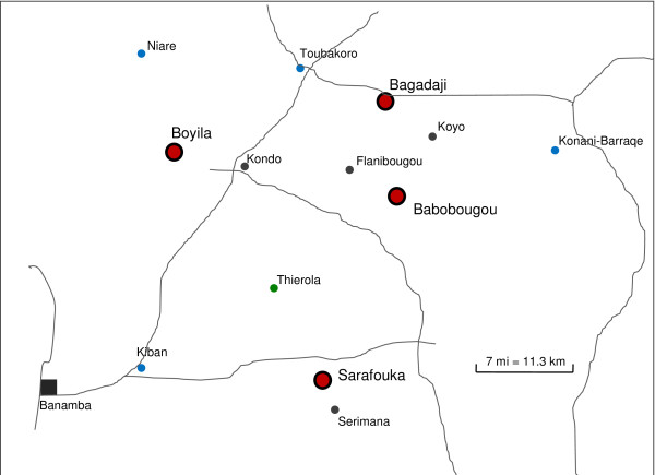
Figure 1.
A schematic map showing locations of the four focal villages (red large dots). The nearest village (gray dots) and nearest permanent surface waters (blue dots) to each of the focal villages are shown as well as the site of a previous study (Thierola), to which several citations were made. Roads (unpaved) are shown in gray and the largest town (Banamba) is marked as a gray square. Additional information is provided in Table 1.

