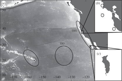
Figure 1.
(a) The known focal use areas in the NEP. Coastlines and landmasses are designated by dark grey (i) slope and offshore waters around Hawaii, (ii) the White Shark ‘Café’, and (iii) North American shelf waters, comprised of (b) aggregation sites in CCA (open circles from north to south: Tomales Point, Farallon Islands, Año Nuevo Island) and (c) Guadalupe Island, Mexico.

