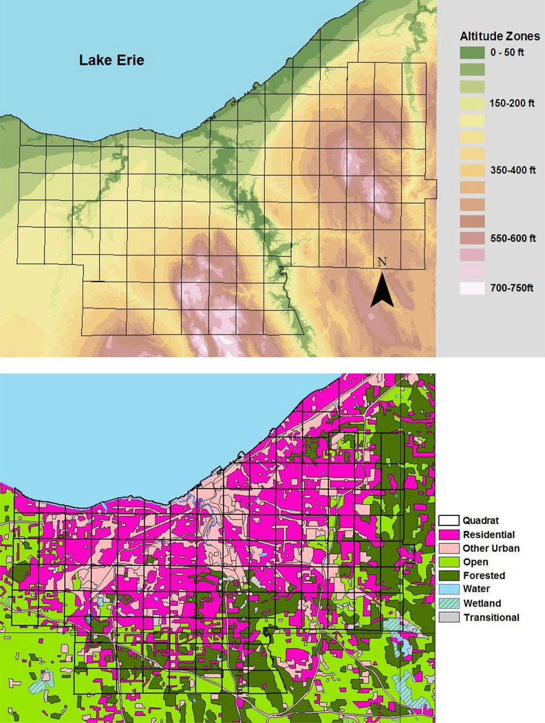
Figure 3.
Topographic and Land use/ Land cover characteristics of Cuyahoga County. Upper panel, elevation map of the county, showing altitude above mean Lake Erie shoreline level. Higher altitudes in the east and south drain toward the lake to the north and west. Black outlines indicate the chosen analytic quadrat grid used in data aggregation for discriminant analysis of WNV risk; Lower panel, Land use classification of Cuyahoga County and surrounding areas. The central county is predominantly urban (magenta and pink) surrounded at the periphery by open agricultural and parkland, including forested and wetland areas.

