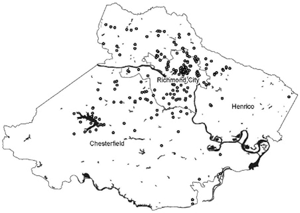
FIGURE 1. GIS Mapping of Nearest Intersection to Participant’s Home.
The intersection closest to participants’ homes was recorded in the first survey. The first EFIC trial was conducted within city limits. The second EFIC trial targeted the city and surrounding counties. The figure shows the reach of CARs for the first study, and how their reach includes the surrounding counties. Participants are noted by dots; dots may represent more than one individual.
GIS = geographic information system; EFIC = exception from informed consent; CARs = community advocates for research

