Modeling centers archive their results, and many are contributed to the World Climate Research Programme,28 a network comprising partners such as the International Geosphere–Biosphere Programme and the International Human Dimensions Programme on Global Environmental Change. The model results are freely available online for analysis. The same centers are working on RCMs, and most share these data with researchers around the globe.
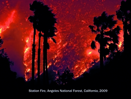
A few states have already made relevant RCM data available to the public. California, for example, recently unveiled Cal-Adapt, a website produced by the state’s science and research community that describes potential changes in wildfire activity, sea-level rise, snowpack, and temperature, all downscaled to the state’s geography.29 All users of Cal-Adapt have access to interactive maps—some linked to census tract data—and original source data.
© 2012 Aaron Huey/National Geographic Stock

