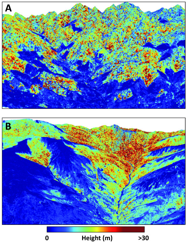
Figure 3.
Example LiDAR-based maps of aboveground carbon stocks highlighting: (A) effects of deforestation on humid, low-elevation forests in the northern region, and (B) a natural gradient in elevation and plant available water, from dry forests with low canopy height in the lowlands to humid forests in the uplands.

