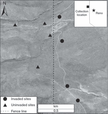
Figure 1.

Study location in Balls Canyon, Sierra County, California, with invaded and uninvaded areas in close proximity. The fence line (visible from aerial photos, but marked here for emphasis) represents a management boundary separating invaded areas (east) from uninvaded areas (west).
