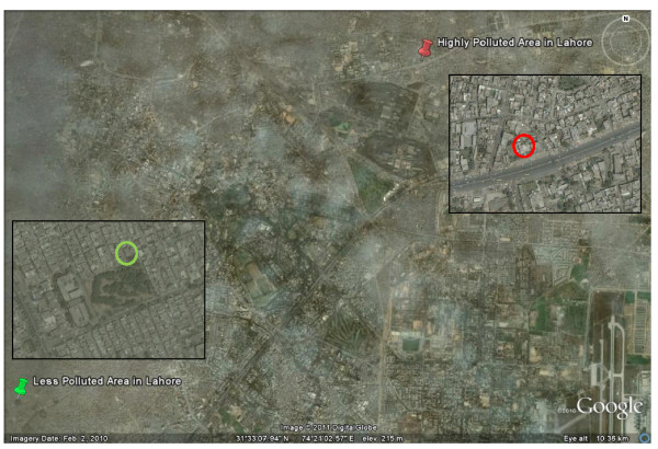
Figure 1.

Google Earth overview of Lahore, Pakistan (accessed on 9 February 2011), with insets (accessed on 10 June 2011) showing the school situated in a low pollution area close to a park (left) and the school situated in a high pollution area close to a major road (right). The distance between the two schools is ~10 km. All children lived within ~3 km of their school.
