
Figure 2.
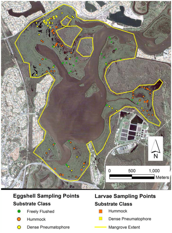
Satellite image (Google Earth 2004) of Coombabah Lake and surroundings showing both the location of Aedes vigilax larval and eggshell sampling points with the mangrove forest substrate class identified at each sample point. The extent of mangroves is indicated by the yellow outline. High quality figures are available online.