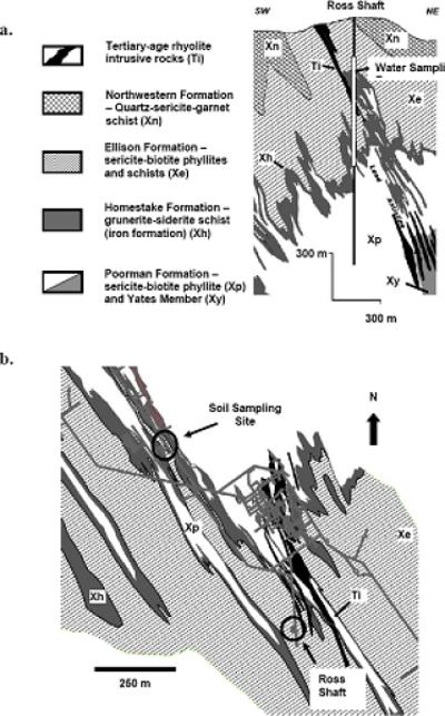
Figure 1.

a. Cross section of the Homestake underground mine showing the location of the water sampling along the extent of the Ross Shaft (244 – 914 m). b. Plan view of the 2000 level (610 m below the surface) showing the location of the soil sampling site in relation to the Ross Shaft and the geologic map of that level.
