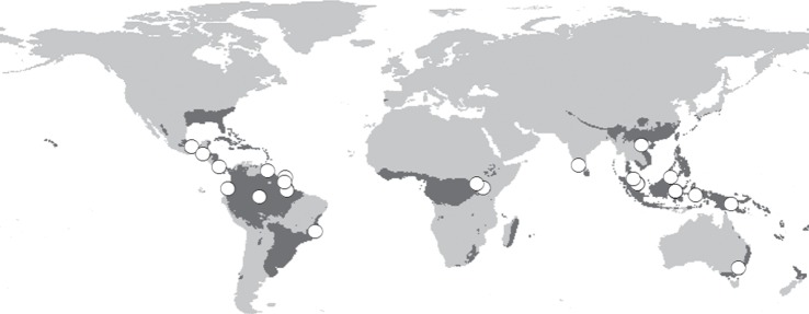
Figure 1.

Location of studies included in analyses (white circles) based on geographical coordinates provided in the publication or georeferenced as accurately as possible from the description of the study areas provided. Therefore, these provide an overview of the geographical coverage of studies included here, rather than accurate locations. The extent of tropical and sub-tropical forest biomes is shown (grey shading) as used in the IMAGE [31], based on the BIOME model [32]. All gridded data are at 0.5° resolution. Shown in the World Geodetic System 1984 projection.
