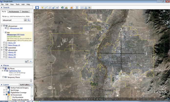
FIGURE 1.
City example from Google Earth for Albuquerque, New Mexico. Mouse of computer held over point where numbers are. When mouse is held over a point, its corresponding elevation is indicated at the bottom of the image. Edited plus sign represents the plus sign imaginarily placed within city boundaries and not extended to areas that appeared to be uninhabited. In this example, the western part of the outlined city, marked with an edited “U,” was considered uninhabited and therefore not included for Albuquerque. Eye altitude located in lower right-hand corner (26.52 miles) while elevation value is located in lower center (5134 ft) according to where mouse was held during storage of image.

