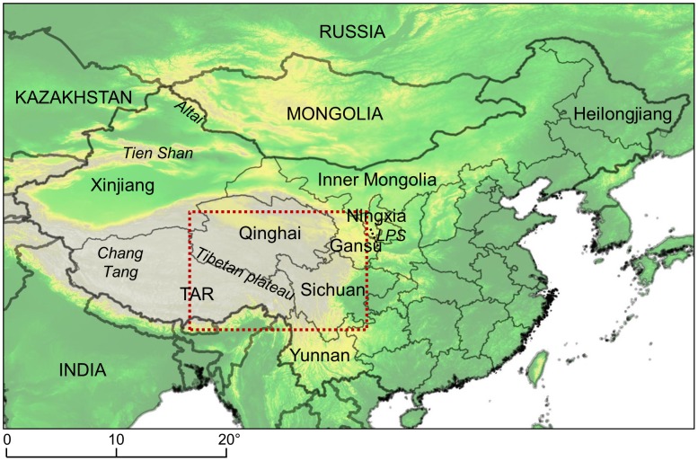
Figure 1. Map of China and main locations cited in the text.
Dotted line, area where regional predictions were computed (see Figure 7), TAR, Tibetan Autonomous Region, LPS, Liupan Shan (Liupan Mountains). Coordinates reference system in degrees (WGS84). The background is Global Land One-kilometer Base Elevation model, provided by the US National Oceanic and Atmospheric Administration.

