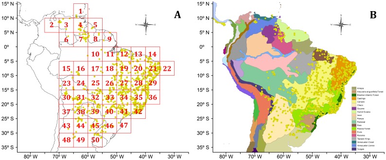
Figure 1. Distributional maps of the lizard genus Tropidurus showing (A) the 5°×5° quadrats employed as operational geographic units by PAE and (B) the biogeographic provinces of South America [–[59] employed as operational geographic units by PAE and BPA.
Yellow dots represent collection points of Tropidurus confirmed through the analysis of voucher specimens and literature (for additional information see Ref. [5]).

