
Fig. 1.
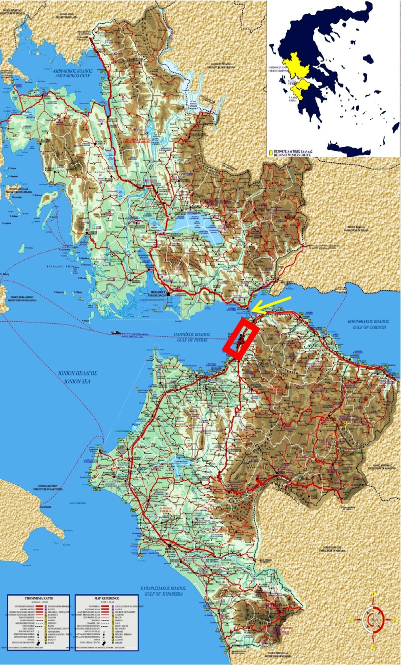
Map of Greece, where the area of Western Greece (prefectures of Achaia, Ilia, and Etolia/Akarnania) is depicted in yellow (inserted picture). In the enlarged map of Western Greece, the red rectangle indicates the urban area of Patras, regional capital of Western Greece. The yellow arrow depicts the position of the Rion-Antirion bridge, which connects Peloponnese with continental Greece