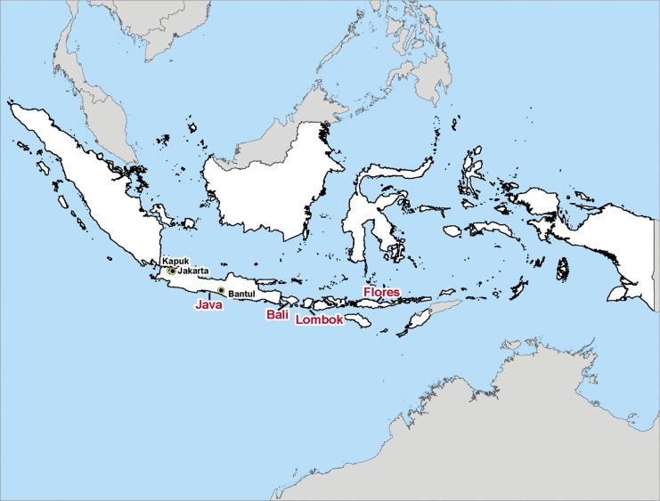
FIG. 1.
Map of the Indonesian archipelago. The islands comprising Indonesia are shown in white, large text indicates the islands where Japanese encephalitis virus (JEV) isolates included in this study were collected, and small text indicates the cities in Java where JEV isolates included in this study were collected. Twenty-seven of the Indonesian isolates were from the island of Java (one from Jakarta, 19 from Kapuk, one from West Java, three from Central Java, one from Bantul, and two from unspecified locations in Java), two were from the island of Bali, three were from the island of Lombok, one was from the island of Flores, and one was from an unspecified location in Indonesia. The map was created using the ArcView GIS version 9.1 (Environmental Research Systems Institute 2004) from geographic boundary files downloaded from the DIVA-GIS, Geodatabase (DIVA-GIS, 2011). (Color image available online at www.liebertpub.com/vbz).

