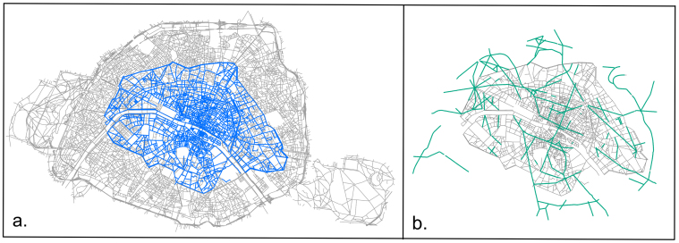
Figure 2.
(a) Map of Paris in 1789 superimposed on the map of current 2010 Paris.In the whole study, we focus on the Haussmann modifications and limited ourselves to the 1789 portion of the street network. (b) Map of Haussmann modifications. The grey lines represent the road network in 1836, the green lines represent the Haussmann modifications which are basically all contained in the 1789 area (figure created from authors' data with ArcGiS 10.0 (ESRI): www.esri.com/software/arcgis/).

