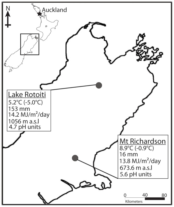
Figure 1. Map of upper half of South Island, New Zealand showing the two sites, Lake Rotoiti and Mt Richardson (Inset shows the map of New Zealand with the rectangle indicating the relative location of the magnified map of South Island).
Below each site environmental data, namely, mean annual temperature (mean minimum temperature of the coldest month), mean annual rainfall, mean annual solar radiation, elevation and soil pH, are given. Data source: LRIS portal v. 1.0 Landcare Research (http://lris.scinfo.org.nz/) and Olliver & Co., via Koordinates (http://koordinates.com/#/maps/corax/).

