Figure 1.

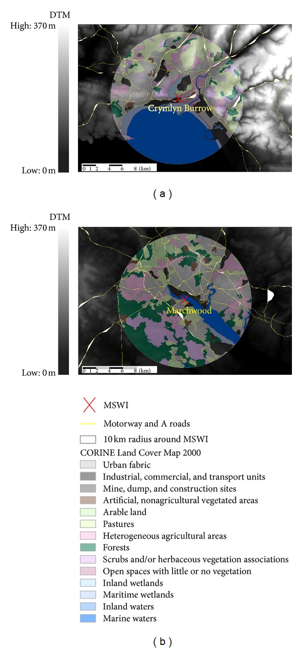
Land cover data from CORINE-Land 2001 and topography data from PANORMA 10 km around Crymlyn Burrows (a) and Marchwood (b) incinerators.

Land cover data from CORINE-Land 2001 and topography data from PANORMA 10 km around Crymlyn Burrows (a) and Marchwood (b) incinerators.