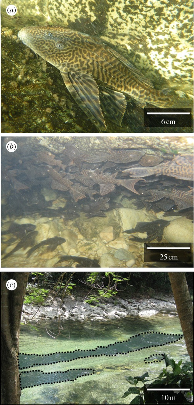
Figure 1.

Pterygoplichthys in the Chacamax River (17°29′047″ N, 91°58′430″ W). (a) Individual Pterygoplichthys, (b) underwater close-up of part of a Pterygoplichthys aggregation, (c) surface photo of Pterygoplichthys aggregations denoted by the black dotted lines. (Online version in colour.)
