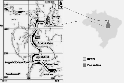
Figure 1.

Location map of the study area at the National Park of Araguaia Plains with the nesting beaches of Canguçu, Comprida, Coco and Goiaba and the Javaés River. At the upper right side, the location of the National Park of Araguaia Plains in the Tocantins State, that is shown in the map of Brazil, at the right.
