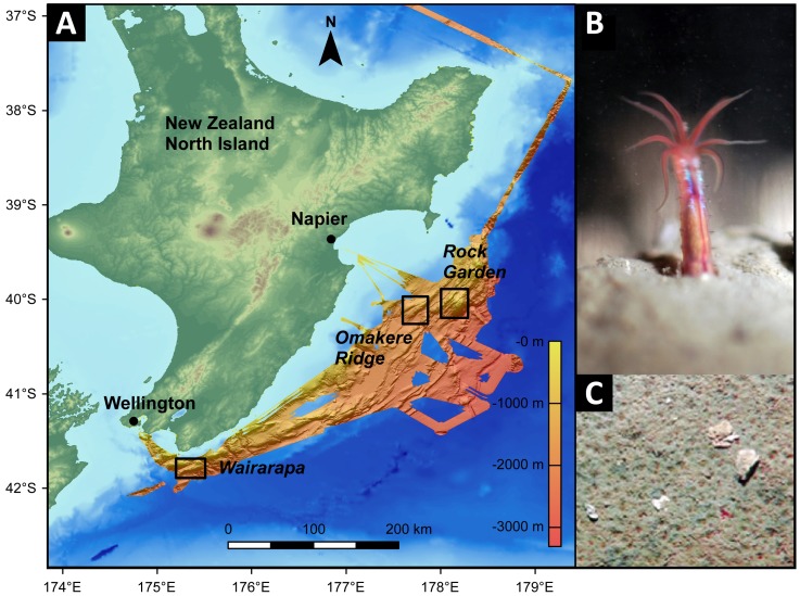
Figure 1. The sampling sites.
A: Bathymetric map of Hikurangi margin, New Zealand. The map was generated using the ESRI ArcGIS software and the General Bathymetric Chart of the Oceans (GEBCO_09 Grid, version 20091120, http://www.gebco.net). Data for the high resolution bathymetry were provided by Jens Greinert. Sampling areas are indicated. B: Close-up view of an ampharetid polychaete, the dominant fauna at many Hikurangi seep sites. These polychaetes are between 1 and 2.5 cm long and inhabit tubes which extend 2-3 cm into the sediment (image courtesy of S. Sommer). C: Each depression on the sediment surface was created and inhabited by a single polychaete (image courtesy of D. Bowden).

