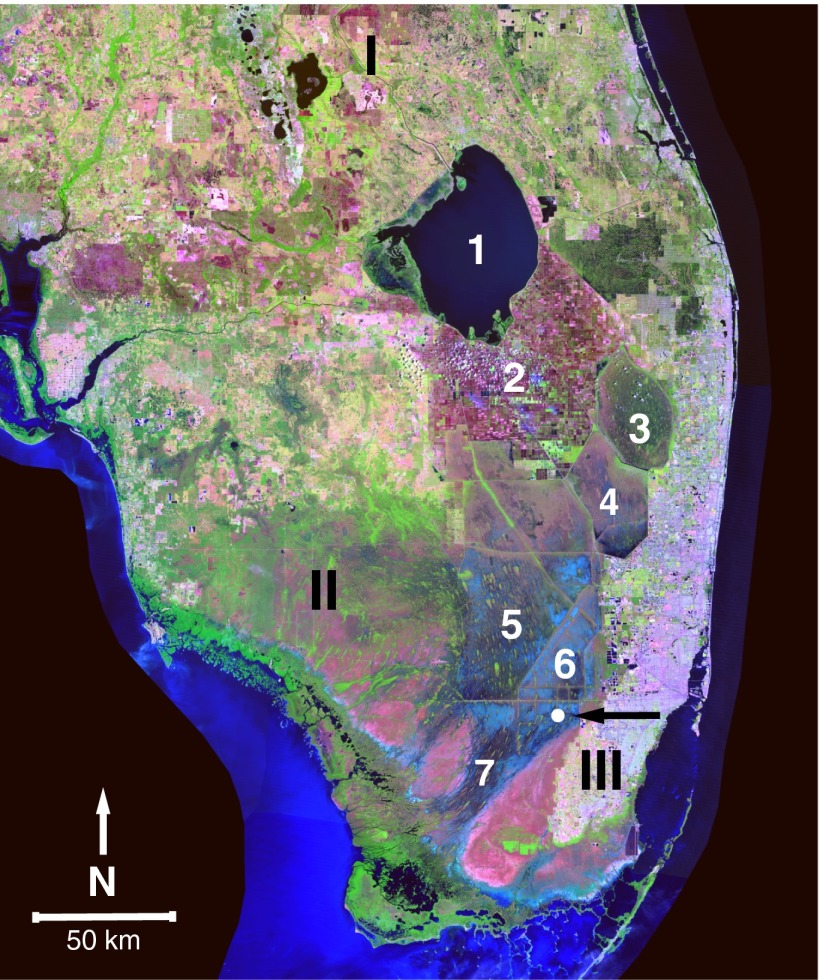
Fig. 1.
Landsat image of the Everglades and surrounding region. The features marked are (1) Lake Okeechobee, (2) the Everglades Agricultural Areas, (3–6) Water Conservation Areas 1, 2, 3A, and 3B, respectively, and (7) Shark River Slough. Other marked areas are (I) Lake Wales Ridge, (II) Big Cypress Swamp, and (III) Miami Rockland Ridge. The coring site is marked by the arrow. Adapted with permission from American Geophysical Union (12).

