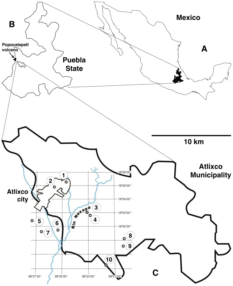
Figure 1. Maps showing the geographical distribution of localities surveyed in Atlixco municipality, Puebla, Mexico.
A) Map of Mexico; B) Map of Puebla State; C) Map of Atlixco municipality showing Atlixco city and localities of the schools surveyed: 1 = Tenextepec; 2 = Alta Vista; 3 = Almazán; 4 = Huilotepec; 5 = San Juan Casstillotla; 6 = Juan Uvera; 7 = La Trinidad Tepango; 8 = San Felipe Xonacayucan; 9 = San Jerónimo Caleras; 10 = San Esteban Zoapiltepec.

